Landscape remediation
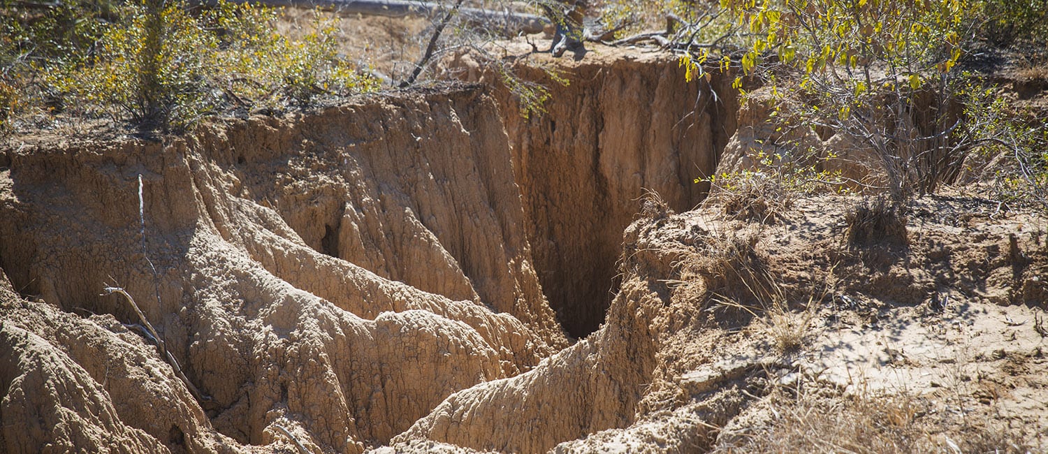
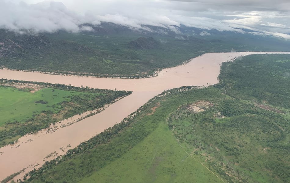
GULLY erosion causes about 65 per cent of the fine sediment load that comes from the BBB catchment.
The aim of the Landscape Remediation Activity Area is to develop effective and economical approaches to gully remediation. It is doing this by trialing a number of different treatment methods to tackle all types of gullies – large and small.
There is no “one size fits all” method. No gully is unmanageable as long as we apply the right techniques. As we get better and more efficient we hope to deliver these solutions at reduced costs.
The remediation approaches will build on existing expertise and lessons learned from previous trials, and will also draw upon the knowledge of graziers and technical specialists.
Griffith University Associate Professor Andrew Brooks, is working alongside graziers, other scientists and technical experts to design land condition and water quality improvement solutions in the BBB catchment near Collinsville, under the Queensland Government-funded project.
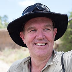
Gully expert, Associate Professor Andrew Brooks
Click on Prof Brooks’ photograph to read his comments about how unstable soils in some areas of the Bowen, Broken, Bogie (BBB) catchment are especially prone to erosion
Results of all the gully remediation trials – small and large – being carried out across the BBB will inform a strategic investment plan for landscape remediation in the BBB.
The purpose of this plan is to provide a scientifically robust strategy for widespread implementation of cost effective landscape remediation in the catchment, and to guide transferring the learnings from the demonstrations sites at larger scales.
The strategic plan will be informed by landholder input on the practicalities of implementation, particularly for smaller erosion features across large areas.
It will involve a multi-pronged approach recognising works that can be achieved by landholders, works that will require dedicated public investment, and works that may be hybrid of both of these approaches.
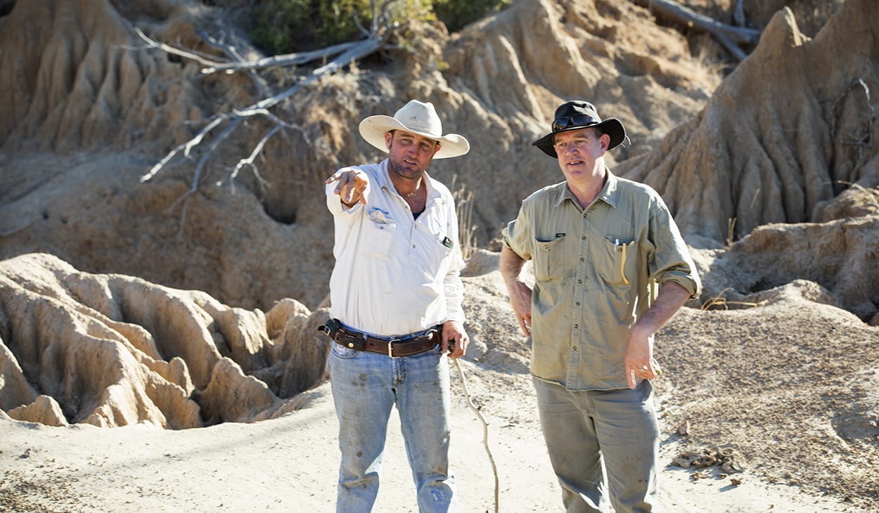
Grazier Christian Cormack (left) and Andrew Brooks
Mt Wickham – first cab off the rank
LDC tackled its first large gully remediation project on Mt Wickham Station last year. The landscape remediation team is talking with two property owners about conducting large scale gully remediation techniques on their properties.
These will be announced once those Memorandums of Understanding have been signed. Both properties will be demonstration sites which means the BBB community will be invited along to see the progress of the works.
Ecological engineering firm Verterra, a principal partner on the project, developed the gully remediation technical design. Local contractors carried out the remediation works at Mt Wickham.
Maintenance is now being done following unprecedented rainfall on site. Since initial works were completed in November 2018, 745mm of rain has fallen on site. This is equal to the annual average and well above the January average of 125mm.
For an update on Mt Wickham works click here.
Also planned this year – graziers will have the opportunity to meet up with scientists and technical experts who are helping the LDC team design land condition and water quality improvement solutions in the BBB.
Graziers will be notified ahead of time of when and where scientists and technical experts will be out in the field. Grab the chance with both hands and come along and find out more about gully remediation techniques.
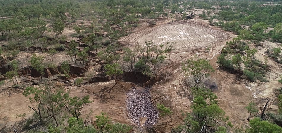
Why Mt Wickham was chosen as a demonstration site
THE LDC project contracted gully remediation experts to develop a range of criteria to help locate a ‘typical’ large-scale sodic gully rehabilitation study site in the BBB.
Criteria included biophysical traits such as:
- size of the gully;
- soil type; and
- that possessed typical erosion features the LDC project is trying to fix.
Other factors include (but not limited to) that the site can:
- demonstrate a range of gully remediation techniques and solutions;
- show the outcome of various remediation treatments, and if they are transferable and cost effective;
- be easily accessible;
- be able to host field days; and
- a willing landholder to host a demonstration site. (We are grateful to the owners of Mt Wickham for allowing the project to undertake remediation works on their property).
SMALL SCALE EROSION FEATURES
THE LDC is pleased with the large number of property owners who have expressed an interest to have small scale gully remediation works completed on their properties.
Although all the nominated sites cannot be remediated under the LDC due to funding and time constraints, the LDC intends to produce a high resolution spatial map of these active gullies, and where possible eroding stream banks, to develop a rehabilitation investment prioritisation for the BBB beyond the life of the LDC.
This means there will be multiple shovel-ready projects available to take advantage of future funding opportunities.
A tailored solution is being designed for those works that have been approved.
Some of the remediation options that will be trialled on the small scale erosion features includes:
- Diversion banks and water spreading structures – to control water flow across paddocks and manage water flow at, before, or after, erosion features i.e. grassed or ungrassed diversion banks.
- Sediment traps / Silt traps – to slow water flow and collect sediment from erosion features.
- Direct on ground rehabilitation – earthworks, grade control, soil stabilisation, revegetation.
- Within gully management structures such as rock chutes, rock armouring, use of mulching products, spray-on batters, bio-layering, gully reshaping.
- Road and farm trail works – construction of cross banks (whoa boys), rehabilitation or re-siting roads.
- Contour ripping – to enhance pasture and soil water holding ability.
- Re-seeding of pasture – to improve productivity of pastures, repair degraded areas, or repair preferentially-grazed areas (i.e. can also require fencing or ripping).
- Water distribution infrastructure and water points – to control grazing pressure and enable grazing land management change.
- Off-stream water points – to manage grazing pressure off natural water features.
- Permanent paddock fencing – to manage pastures or specific erosion features.
- Permanent riparian fencing – to promote protection of high value wetland and waterway areas.
- Temporary fencing – with, or without, cattle exclusion to improve land condition.