Innovative demonstration site and learning hub developed at Mt Pleasant Station
An overview is provided to the BBB community about the Mt Pleasant demo site and learning hub timelines, including gully designs through the Mulloon Institute, biodviersity survey work with JCU, suite of education program activities and monitoring and evaluation program.
Garlone Moulin ‘One of the aims for ‘The Hub’ is to create a meeting place for all sorts of folk to come together and share ideas about grazing, ecology and everything in between.
It will be a demo site for a range of grazing techniques, erosion control, technology and biodiversity monitoring.
We’re very interested to explore a particular line of enquiry: biodiversity, productivity, profitability – can they be mutually beneficial?’
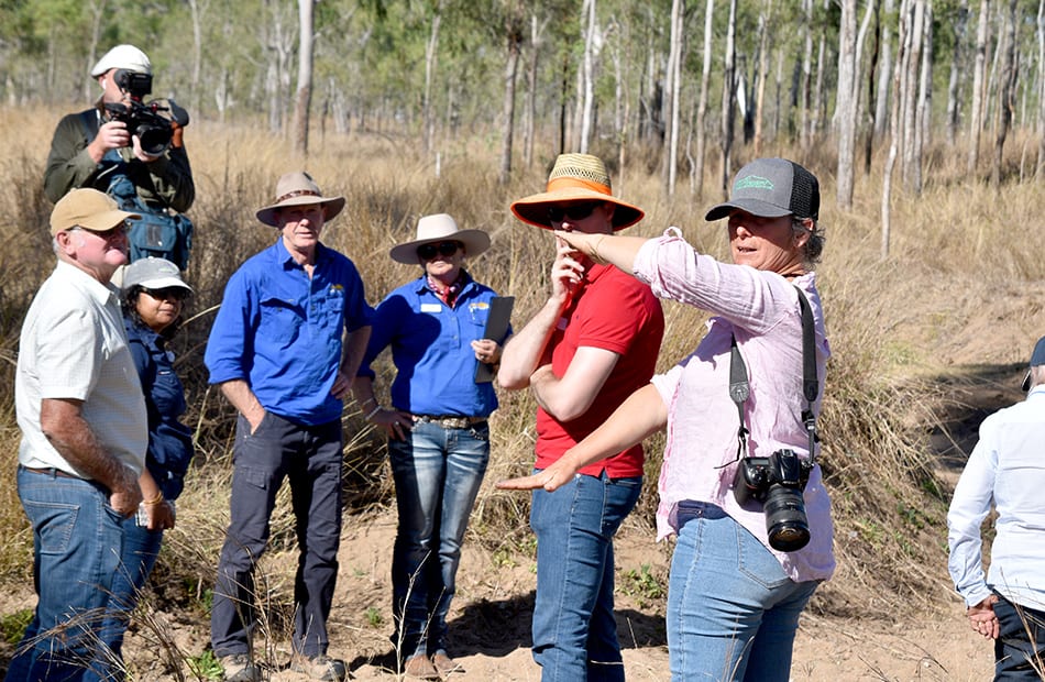
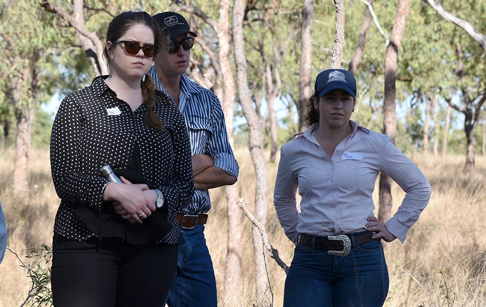
From left, Darcy O’Loughlin, Exevale, Renee Madsen, Create and Evaluate Consulting, Rod Kerr, NQ Dry Tropics, Lisa Hutchinson, NQ Dry Tropics’ LDC project manager, James Allen, Neilly Group Engineering, and Garlone Moulin, Mt Pleasant Station. Garlone provided historical context on how the project site was managed, and her hopes for what the project will achieve.
A demonstration site and learning hub will ground truth a wide range of management and landscape remediation techniques.
The aim is to influence the development of a continuously improving system of catchment scale support for extension, training, farm planning support and regulatory compliance management for rangeland grazing.
The Mt Pleasant demonstration site will become a “One-Stop Shop” for land managers looking for solutions to problems on their properties.
Having a demonstration site where the Best Management Practice (BMP) theories are implemented, gives people a ground-truth to help them make similar changes on their own properties.
The project takes a holistic approach to gully management, working with the landscape and treating gullies as an opportunity to reinstate ecosystem services and restore landscape function.
This will be achieved through the installation of small-scale, low-cost interventions that are currently being demonstrated and are functioning well in the Mulloon Creek project near Canberra, designed and run by The Mulloon Institute.
The reduction in velocity and flow of water off property allows sediment to settle and reduce run off from the demonstration site.
Rolling out a new Accelerated Research Project
The Accelerated Research Project is an initiative of the LDC’s Exploring New Incentives Activity Area.
The aim is to influence the development of a continuously improving system of catchment scale support for extension, training, farm planning support and regulatory compliance management for rangeland grazing.
It will do this by trialing different approaches to encourage practice adoption and to broker longer-term arrangements to support improved and ongoing incentives to improve water quality from grazing lands.
A suite of best practice, cost effective, transferrable and replicable approaches have been identified to:
- improve landscape function;
- restore ecological health;
- optimise productivity, while;
- simultaneously integrating innovation and technology into grazing management systems.
This will be supported through the delivery of training and extension to build capacity and knowledge within the BBB grazing community.
Results are expected to produce resilient adaptive profitable grazing businesses that produce positive reef water quality outcomes.
Results will be promoted and implemented outside of the trial catchments by extension staff, scientists and the wider grazing community, to demonstrate how this Exploring New Incentives project can be replicated.
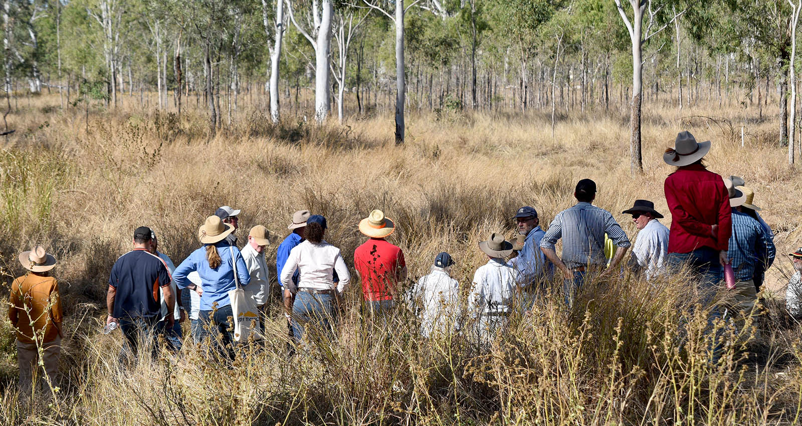
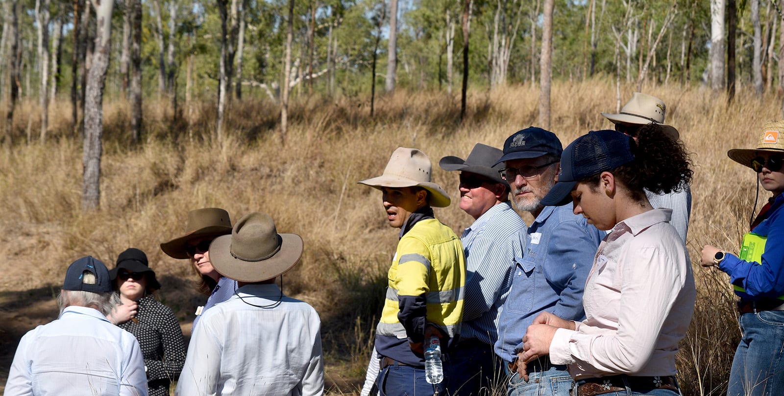
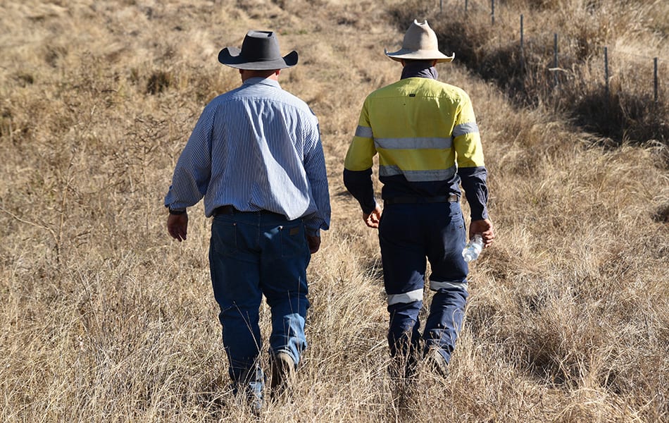
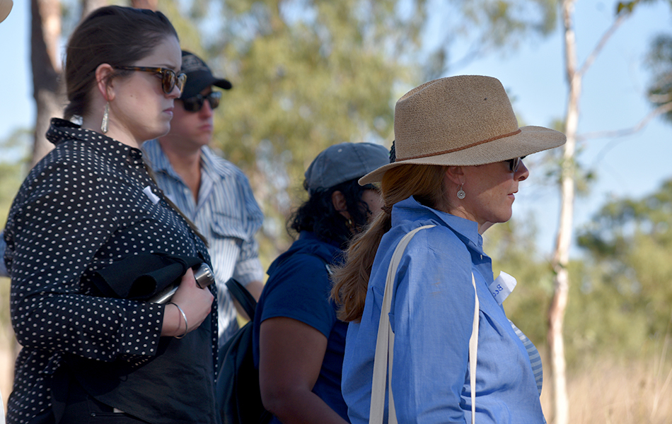
As part of a bus tour of the BBB, a stop was made at the Mt Pleasant Station Demo Site and Community Learning Hub. The site is a fully fenced 220ha production paddock located between the Bowen Developmental Road and the Collinsville railway line.
The Site
The project site is a fenced 220ha production paddock located between the Bowen Development Road and the Collinsville railway line.
The paddock contains an unmapped gully/water course, including a large dam at the head of the catchment, in a largely Goldfields land type. It was cleared in the 1970’s and is now an open grassy woodland landscape.
It is the current bull paddock, is set stocked, although a regime of wet season spelling has been practiced, and there are extensive eroded and scalded areas in sections of the paddock.
The gully/water course has historically active erosion features which have lowered the creek bed and impacted on the water cycle in the sub-catchment.
Initial assessments of the site indicated suitability for application of the principles of natural sequence farming and landscape rehydration.
Why this site was chosen?
A number of features make it suitable for a demonstration site, including:
- easy access;
- public visibility for future promotional activities;
- historical production records;
- management and land condition records; and
- motivated and proactive landholders.
The landholders have a keen interest in the natural environment and the site lends itself to exploration of biodiversity and conservation aspects of the project.
The Learning Hub component of the project will provide infrastructure and learning resources to allow local and regional landholders, school and tertiary students, scientific and university institutions and other interested organisations to observe, study and learn in a production landscape.
Project features
The project gully site will be managed using the principles of natural sequence farming and the concepts of landscape rehydration, and will be designed by the Mulloon Institute.
The gully design will incorporate a series of small scale structures (earth and timber) that hold water in the landscape and restore landscape function through increasing rainfall infiltration and improving water tables (landscape rehydration), while recognising that ground cover and productive pastures are key to maintaining land and gully condition.
The demonstration project will provide a local example of the scientific and practical demonstration of how regenerative agriculture practices can restore landscape function in a production (grazing) landscape.
Property infrastructure such as fencing and stock watering systems will be upgraded to allow establishment of the landscape rehydration project, as changes need to be made to allow the bull operation to continue.
Biodiversity and technology
A baseline biodiversity survey for the project area will be carried out, and changes in biodiversity will be tracked over time, as demonstration activities are implemented on site. Interpretive materials to enhance educational opportunities will be developed.
The project site will also provide an educational opportunity for the local (and regional) grazing industry to investigate innovative practices and the integration of new technology to improve farm efficiency and production.
The Hub will investigate the application of drone technologies and an approach has been made to the University of the Sunshine Coast to support this, as this is a key area of their research capability.

