Prioritising BBB gullies for remediation
NQ Dry Tropics’ understanding of where and how to remediate gullied landscapes in the dry tropics has grown significantly during the past five years.
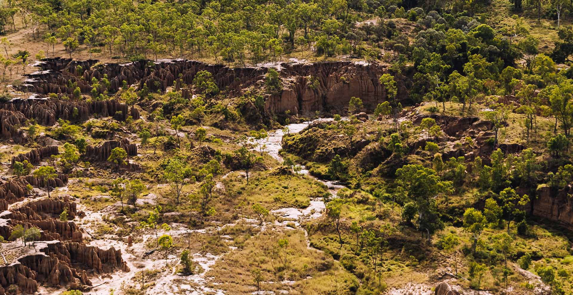
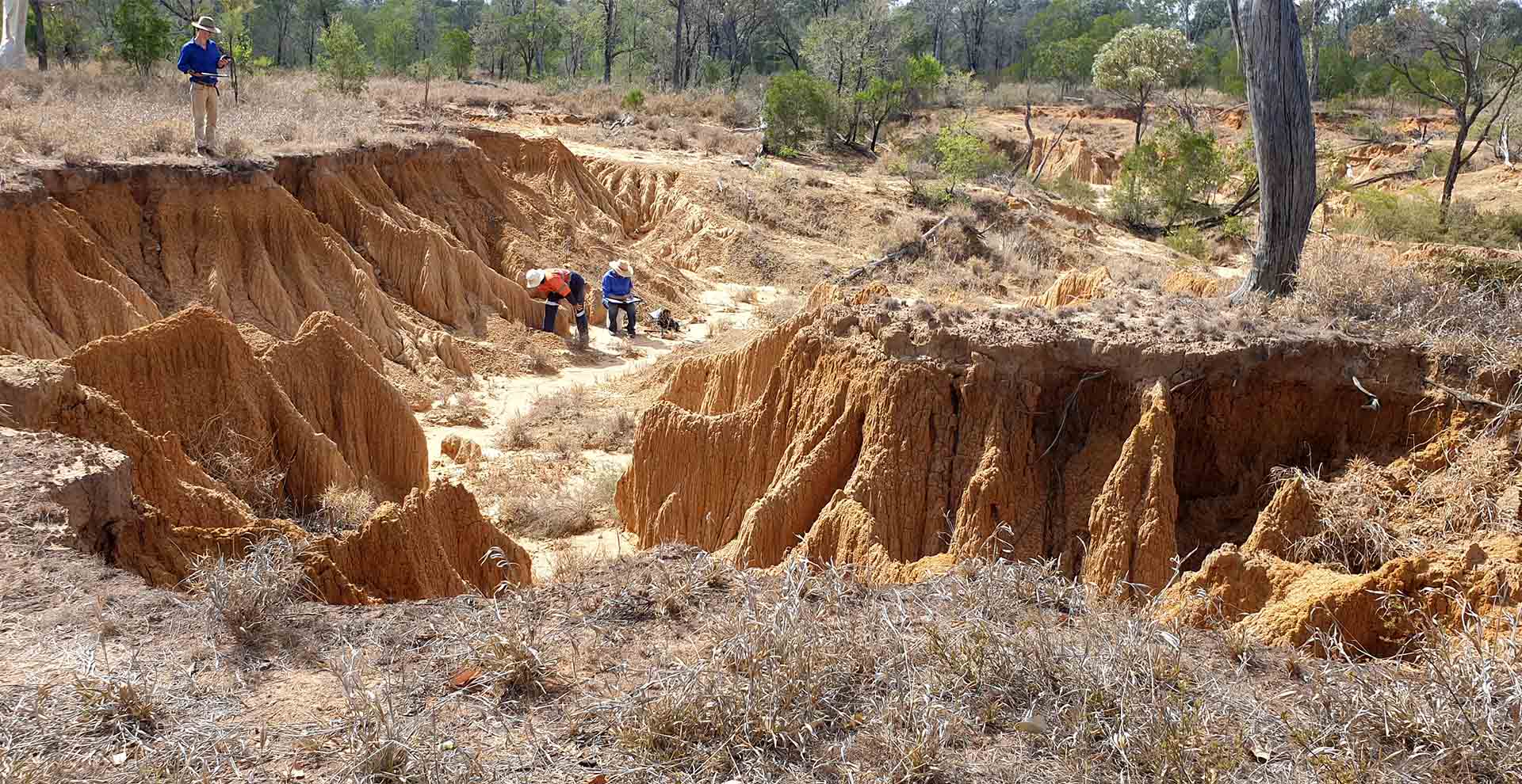
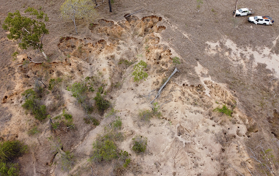
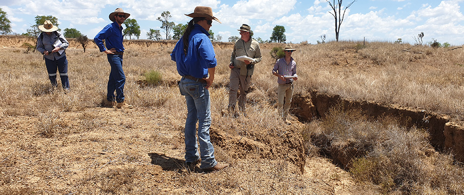
Since the LDC project began, staff from NQ Dry Tropics and Griffith University have mapped gullies in the BBB to help prioritise gully rehabilitation projects. Ground verification work has also been completed to keep the project on track to tackle gully hotspots.
Work arising out of the LDC includes:
- transferable procedures for the remote sensed mapping and characterisation (including load estimates) of gullies;
- an extensive, spatially-explicit, GIS dataset that identifies, characterises and prioritises 22,311 active gullies within the BBB area;
- a framework for site selection that incorporates a range of biophysical and socio-economic considerations; and
- a spatial prioritisation based on cost-effectiveness that incorporates the biophysical characteristics and socio-economic considerations.
Prioritising work is important because it identifies the most sediment yielding gully systems to guide investment to remediate gully hotspots.
In November last year, NQ Dry Tropics and Griffith University carried out ground verification work to ensure the initial mapping undertaken was robust.
The methodology has been validated and this means the prioritisation work can be relied on by investors as a valid approximation of gully sediment yield.
The methodology has been validated meaning investors can rely on the accuracy of gully sediment yield approximations.
LARGE-SCALE GULLIES
LDC is trialling and implementing cost-effective large-scale landscape remediation options in hotspot areas, as identified in the prioritisation work that has been carried out.
Queries about large-scale gully works, including information about the pool of service providers for gully remediation work in the BBB, please contact Landscape Remediation Officer Daniel Hazelman on m: 0457 356 469 or e: daniel.hazelman@nqdrytropics.com.au.
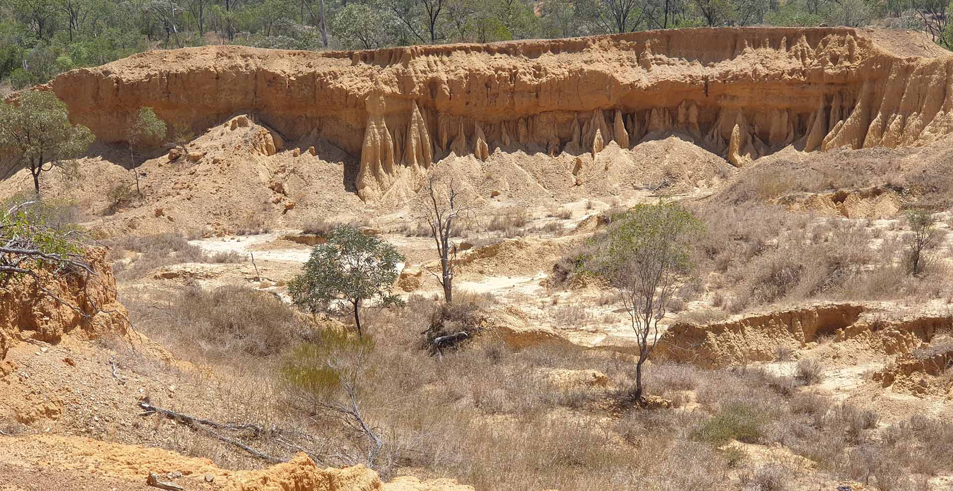
Some examples of large-scale gully remediation works that have been completed include gullies at Glen Bowen, Mt Wickham and Strathmore.
SMALL-SCALE GULLIES
LDC is helping landholders to remediate small-scale gullies and erosion features to reduce soil erosion.
More information available here.
Water quality in the BBB – the challenge
Fine sediment and nutrients from agricultural land are a significant threat to the Great Barrier Reef.
The Burdekin catchment is the largest contributor of anthropogenic (human induced) fine sediment loads of the 35 catchments that drain to the Great Barrier Reef. It delivers, on average, 3.3 million tonnes per year; more than double the load of any other catchment. Most comes from gully erosion in grazing areas.
The Bowen Broken and Bogie (BBB) river catchment encompasses an area of 11,718km2 and is part of the much larger Burdekin River system (130,000 km2). Despite its relatively small size (less than 9 per cent of the Burdekin, and less than 3 per cent of the total catchment area draining into the Great Barrier Reef), the BBB catchment generates almost a quarter of the total fine sediment load into the GBR lagoon.
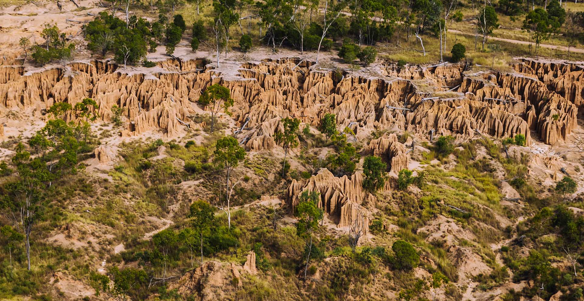
About 65 per cent of that fine sediment comes from gully erosion. A total of 22,311 active gullies were mapped within the BBB study area (~3,500 km2), with a cumulative active area of 4,620ha.
This makes gully remediation in the BBB catchment a focus for investment activity. Gully remediation in this landscape is challenging. The area is vast, sparsely populated and poorly-serviced.
The climate exhibits a pronounced wet and dry season with most rain falling in intense events between November and April. Average annual rainfall is 715mm (28.1in), with significant year-to-year variability. The window for undertaking large-scale earthworks is often narrow, and revegetation is constrained by water availability.
Many of the gullies are a legacy of historical land management, and unrelated to current practices or owners. Many gully works involve high capital cost and deliver little private benefit to the landholder. Characteristics vary considerably between gullies, requiring tailored treatment plans for each site.

