Government water quality targets provide the context for LDC project
In response to the ongoing water quality impacts affecting the health of the Great Barrier Reef (GBR), the Queensland and Australian governments have set ambitious targets in the Reef 2050 Long Term Sustainability Plan (Reef 2050 Plan) to reduce pollutants in key reef catchments by 2025 (up to 50% reduction in sediment run-off and up to 80% reduction in nitrogen).
The Queensland and Australian governments also released a new Reef 2050 Water Quality Improvement Plan in July this year that comprises a revised set of catchment targets that can be read here.
Mt Wickham: LDC tackles first large gully remediation
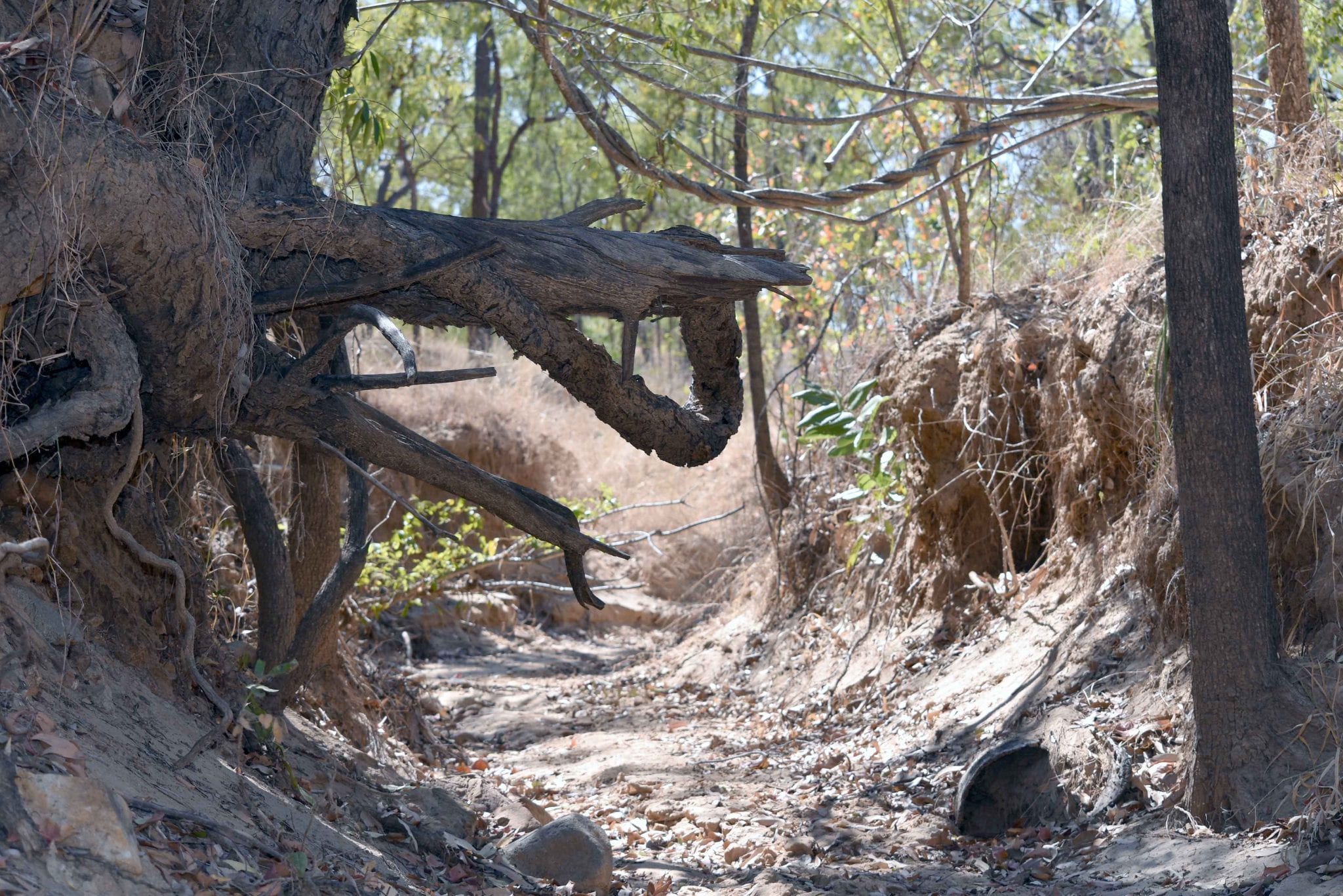
LANDHOLDERS Driving Change is conducting a large-scale gully remediation project on Mt Wickham.
In mid-August, LDC staff walked the landscape with local contractors looking to be involved in these major works.
They were joined by representatives from ecological engineering firm Verterra, a principal partner on the project, who developed the gully remediation technical design.
Vertarra informed local contractors about the design process, approach and methods being used on the Mt Wickham site.
Contractors will lodge quotes for consideration to undertake works and it is hoped that works can start by the end of September.
Why Mt Wickham was chosen as a demonstration site
The LDC project contracted gully remediation experts to develop a range of criteria to help locate a ‘typical’ large-scale sodic gully rehabilitation study site in the BBB.
Criteria included biophysical traits such as:
- size of the gully;
- soil type; and
- that possessed typical erosion features the LDC project is trying to fix.
Other factors include (but not limited to) that the site can:
- demonstrate a range of gully remediation techniques and solutions;
- show the outcome of various remediation treatments, and if they are transferable and cost effective;
- be easily accessible;
- be able to host field days; and
- a willing landholder to host a demonstration site. (We are grateful to the owners of Mt Wickham for allowing the project to undertake remediation works on their property).
On ground monitoring and integration with *NESP 2.1.4. research shows that the total suspended sediment (TSS) concentrations vary considerably between gully sites in the BBB, with the highest mean concentrations being measured at the Mt Wickham site (coming in at ~ 57,000 mg/l). This gully has highly sodic sub-surface soils.
By comparison, other gullies being monitored reached peak concentrations about 10% of those at Mt Wickham (between ~5000 and ~11,000 mg/l).
The total nitrogen (TN) concentrations follow a similar pattern to TSS when comparing the control and treatment sites.
Interestingly, although Mt Wickham has much higher TSS concentrations than the other sites, the TN values are not statistically different.
The demonstration site will be monitored and evaluated using a range of practice, vegetation, runoff and water quality measures.
CSIRO has installed monitoring stations at two gullies at Mt Wickham – the treatment gully that will undergo remediation and a control gully for reference.
Each system is comprised of the following components:
- metal stand or frame;
- ISCO water quality sampler;
- depth transducer;
- turbidity sensor;
- telemetry communications;
- rain gauge; and
- camera.
Results of the study site (including the smaller gully remediation trials being carried out across the BBB) will inform a strategic investment plan for landscape remediation in the BBB.
The purpose of this plan is to provide a scientifically robust strategy for widespread implementation of cost effective landscape remediation in the catchment, and to guide transferring the learnings from the demonstrations sites at larger scales.
The strategic plan will be informed by landholder input on the practicalities of implementation, particularly for smaller erosion features across large areas.
It will involve a multi-pronged approach recognising works that can be achieved by landholders, works that will require dedicated public investment, and works that may be hybrid of both of these approaches.
*National Environmental Science Program
Principles of gully management
Sediment source tracing, erosion mapping and catchment modelling studies show that gully erosion contributes approximately 40 per cent of all fine sediment to the Great Barrier Reef Lagoon.
This makes gully management a high priority for investments to reduce sediment loads.
The principles of gully management success are:
- to increase the efficiency of sediment trapping within gullies;
- improve vegetation cover in gully features to improve stability; and
- to reduce surface runoff into managing gully erosion to improve water quality in the Great Barrier Reef Lagoon