The Digital Farmer – workshop on software
The LDC Grazier Support program supports graziers by hosting a wide range of workshops that focus on business planning. Farm management software and mapping workshops are proving popular.
Whole of farm management software training
A growing number of local graziers are seeking information about farm management software to help them plan, monitor and analyse property activities.
They want relevant and up to minute performance analysis about their business so they can react more quickly to changing circumstances.
So, in February, LDC hosted AGDATA Australia to deliver Phoenix Farm Management Software workshops to local graziers. A total of 10 participants completed Budgeting and Enterprise Planning and Rural Financial Business Management training modules.
The training showed graziers how they can analyse their business performance, better track and analyse the importance of keeping detailed financial and stock records to plan for a profitable future.
The workshop, held at the Collinsville Independent Living Centre, was conducted by AGDATA Australia Senior Support and Training Manager Mark Leahy.
The Phoenix suite of products is a comprehensive and integrated financial and farm management system. Available in a complete solution or individual modules, it allows clients to choose the modules that are right for their business.
AGDATA was established on a family property near Wandoan, Queensland in 1984. The business is now based in Toowoomba.
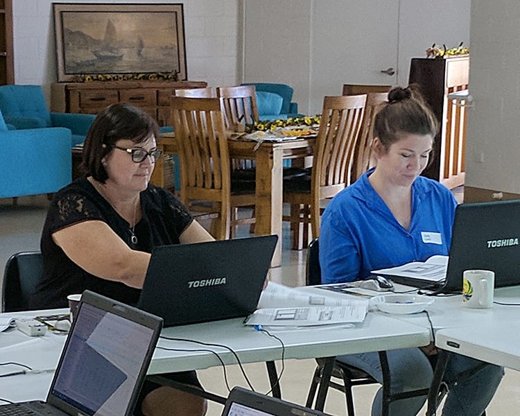
Janelle Dobe (left), and Kelly Lund

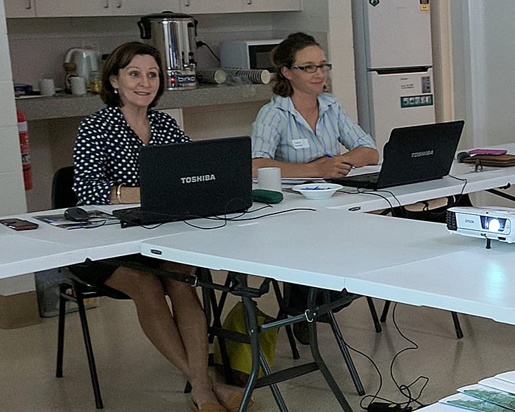
Del (left), and Jessie Norman
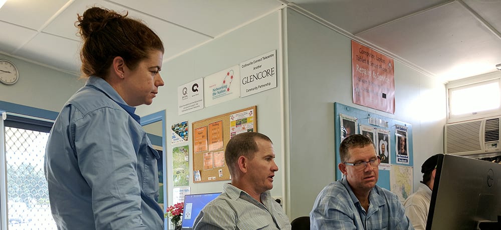
DAF officers Kate Brown and Jim Fletcher with Flagstone Station manager Brett Scott at the LDC FarmMap4D training working at Collinsville Connect Telecentre in January.
Benefits of online mapping application training
Bowen and Collinsville graziers continue to take part in FarmMap4D online mapping application workshops to assist with property management and planning.
These one-day workshops provide landholders with the knowledge, skills and tools to map, plan, analyse and monitor their property infrastructure, land resources and groundcover.
The web-based tool combines geospatial mapping technologies with time-series ground cover satellite imagery to analyse grazing pressure and land condition, to help land managers to make more informed decisions.
FarmMap4D allows landholders to produce customised maps of their property, audit on-farm infrastructure, plan grazing regimes and estimate long-term safe carrying capacity.
This includes being able to plan fences and manage water resources effectively such as being able to calculate how much wire is needed to fence a new paddock or how much pipeline is required to pump water from a new dam to a water trough.
Graziers can also analyse seasonal trends in groundcover within a paddock or entire property to assess land condition and the impacts of management and investment decisions.
Landholders Driving Change provides extension services and technical support to users of FarmMap4D. Landholders interested in using FarmMap4D can contact Rodger Walker on 0408 828 276.