Work starts on fourth large-scale gully
Work has started on LDC’s fourth large-scale gully on Strathmore Station near the Bowen River rodeo grounds, 1.3km from the Bowen River Bridge.
The location was selected by the Griffith University project team as a high value site to reduce fine sediments in the Great Barrier Reef lagoon. The gullies being remediated have a collective area of about 7,650 m2 and it is estimated that these gullies output on average approximately 922 t/y of fine sediment to the reef.
The design has been led by engineering firms Verterra and Alluvium Consulting as an Unincorporated Joint Venture. They are managing the works which are being carried out by local companies Pattle Contractors and Beauchamps Excavating.
The works consist of two sites within the Strathmore Station boundary, and are referred to as the Northern zone (gully reshaping) and Southern zone (bund and chute).
The selected gullies are on a small eastern tributary which joins Red Hill Creek about 2km upstream from its confluence with the Bowen River.
Due to high visibility and accessibility, this site lends itself to becoming a demonstration of gully rehabilitation.
Rehabilitation is expected to be completed this month (December).
Remediation approach:
Northern zone
The northern gullies (combined) are being remediated by reshaping the upper active erosion to form a gently sloping basin with a single channel at the northern extent. The crest will be reshaped to drain away from the basin and direct flows to a stable gully in the south.
The single channel will be reshaped and existing tunnels will be excavated to the base and collapsed and contaminated waste is to be removed prior to the reshaping works starting.
Topsoil is being stripped, stockpiled and ameliorated. Uncontaminated cut material will be stockpiled and ameliorated to be used as capping material of ameliorated topsoil.
Modification of the northern zone is reducing the catchment area and reducing flows leaving the site downstream of the landform.
Flows are directed around the western perimeter of the land formed area to the stable gully at the south. The landform works receive only rainfall falling within the reshaped area.
Southern zone
Remedial works in the southern zone involve constructing a contour bund that redirects overland flow to a single rock chute to prevent flows entering the active erosion sites in the southern zone.
The contour bund and drain redirects flow from the table drains to a stable area.
The works consist of the following:
- Construction of a contour bund that will redirect table drainage to a chute and into a stable gully;
- Installation of a grade control rock chute;
- Soil amelioration of disturbed areas (sub-surface and surface);
- Soil amelioration and revegetation of contributing catchment areas (surface);
- Installation of fencing around the works.
A cultural heritage survey and impact assessment was completed at the gully sites in consultation with the Birriah People which you can read about here.

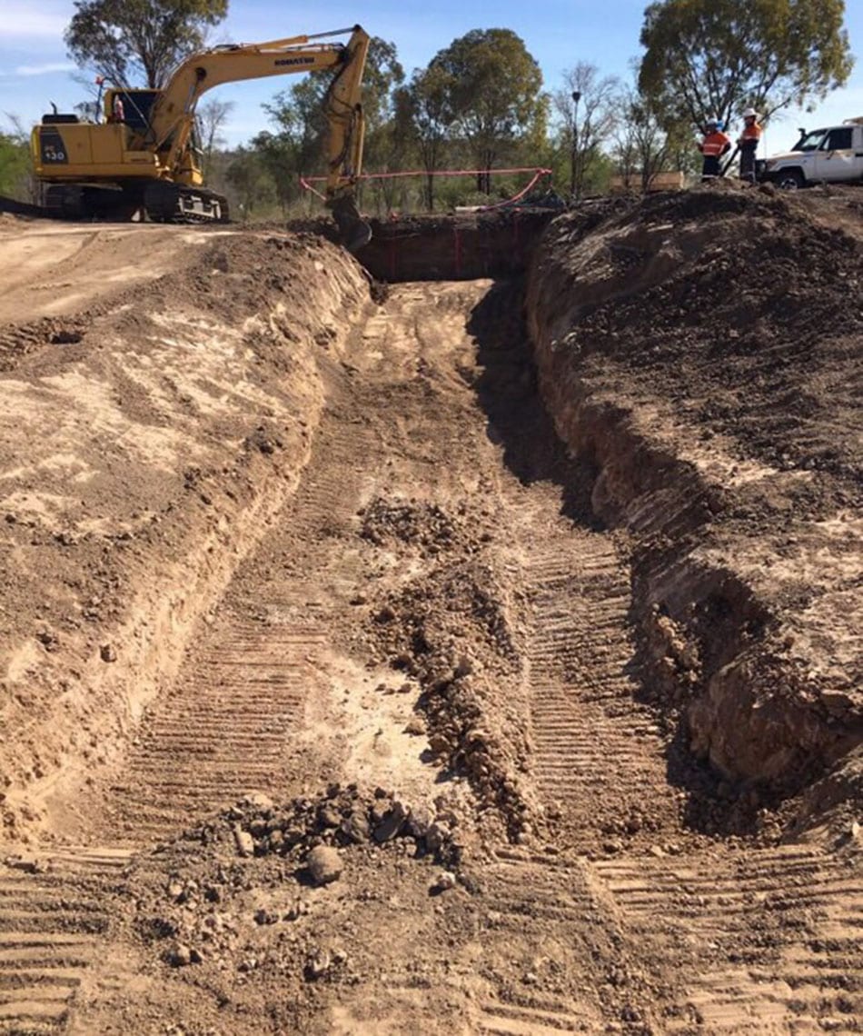
Excavation works for a rock chute at Strathmore.
