
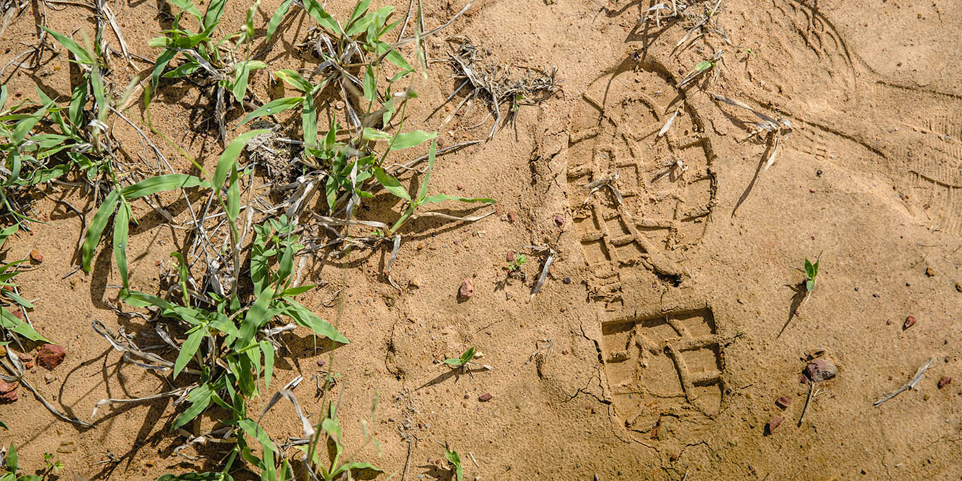
Measuring ground cover with the PATCHKEY method.
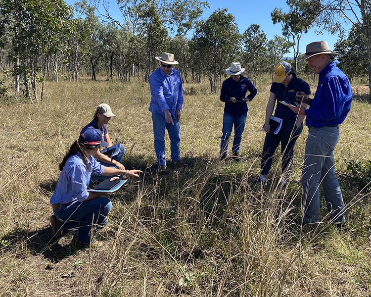
NQ Dry Tropics staff learning about the methods of PATCHKEY with a focus on data analysis.
Measure it and manage it with PATCHKEY
If you can measure it, you can manage it. Developed by CSIRO, PATCHKEY is one monitoring tool used by NQ Dry Tropics, and the LDC project, to measure land condition in the Burdekin catchment.
Change in water quality is difficult to measure in a short timeframe which is why surrogate measurements of landscape function such as improved water infiltration are appropriate.
Landscape function is the capacity of a landscape to capture and retain rainfall and nutrients.
PATCHKEY provides information about land condition at the ‘patch’ scale, (>1m diameter), and the distribution, condition and size of these patches can be used as a quantitative indicator of land condition trends and their relationship to grazing patterns.
This data can help landholders develop grazing management strategies which can improve hydrological function and reduce run-off and soil loss from grazed landscapes.
The data is also used to validate practice change at the paddock scale.
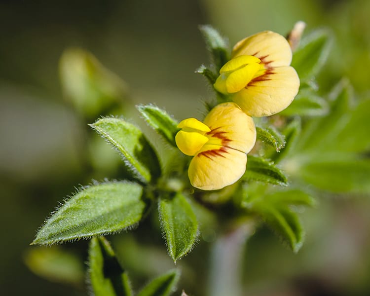
Good pasture… a flowering seca plant.


PATCHKEY RESULTS FOR THE BBB (2020)
The LDC project has continued monitoring across 30 grazing sites established between 2012 and 2015 in the BBB under the Australian Government’s Reef Rescue package with the aim of generating a valuable longer-term dataset for the BBB.
These sites were on properties that implemented practice changes ranging from frontage fencing, upland fencing and waters, subdivision and waters, holistic management, grazing management and gully remediation.
Of the BBB sites monitored, mean condition analysis indicated more than half of the sites improved in landscape condition post practice change implementation.
Of the remainder, some had declined in condition, while 10 per cent remained with no detectable land condition change.
Frontage fencing has delivered the most successful results in the BBB, although generally there appears to be little correlation between management practice change type and landscape condition improvement rates.
Landscape recovery is a decadal landscape process, but with eight years of data (2012 to 2019) from the majority of sites, a clearer picture is emerging.
The collapse of Indian couch populations in 2015 contributed to a substantial decrease in ground cover and litter as a result of the drought. By 2016, most sites had reached their lowest point in landscape condition during the monitoring period.
Since then, the majority of sites have exhibited a positive trend, although litter remains below baseline levels at most sites. Evidence of positive landscape condition trends at the individual site scale on most properties indicates improved grazing management, as climatic conditions have been unfavorable for much of the monitoring period.
Continuation of this monitoring program during the next few years should consolidate the impact of changed management practices.
The resumption of more normal rainfall patterns will continue to clarify landscape condition trends.
LDC has provided landholders with the results of the monitoring sites. Property visits were carried out in early 2019 and in 2020 where landholders and field officers discussed the monitoring program.
Feedback from these visits were “very positive” with landholders rating the value of PATCHKEY monitoring on their property and their increasing knowledge about land condition monitoring at an average of 8 out of 10.


Rob Hassett, DAF explaining the LCAT process at a workshop.
Training ensures consistency
NQ Dry Tropics is focused on its people and partnering with its stakeholders to create connected and functioning landscapes.
To ensure consistency of data collected, some of NQ Dry Tropics field staff took part in a PATCHKEY workshop with CSIRO landscape ecologist Brett Abbott earlier this year.
The LDC project also held a Land Condition Assessment Tool (LCAT) training workshop attended by NQ Dry Tropics field staff in Bowen earlier this year, hosted by Rob Hassett, Department of Agriculture and Fisheries (DAF).
This training was also provided to graziers, and 18 undertook the training at Mt Pleasant Learning Hub in March.
Landscape ecologist Brett Abbott, of CSIRO, pictured left, explains the PatchKey methodology as a rangeland biophysical monitoring tool to NQ Dry Tropics field officers, including Landholders Driving Change staff.