Monitoring land condition change
Through it’s Grazing Support activity area, the Landholders Driving Change project has adopted a number of ground cover monitoring methods, including the Land Condition Assessment Tool (LCAT) developed by the Department of Agriculture and Fisheries (DAF).
LDC offered LCAT training to landholders across the BBB catchment area to help encourage graziers to consider a range of activities that would lead to practice changes most appropriate to their property to achieve better ground cover and land production.
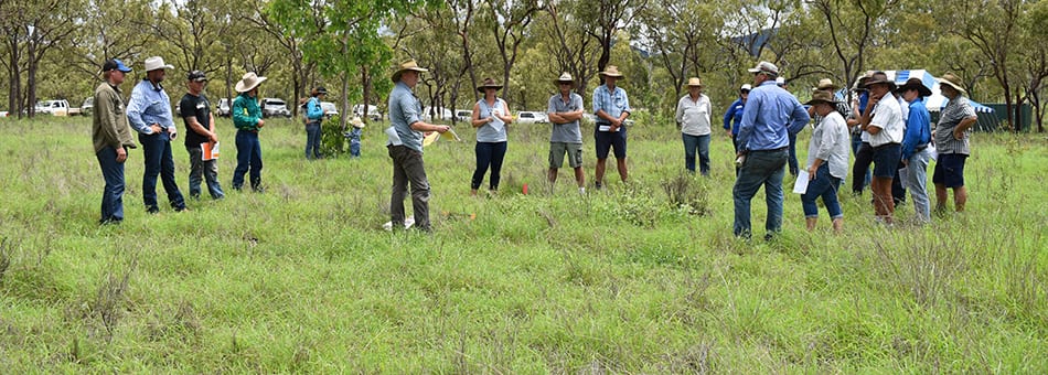
Eighteen graziers attended LCAT training at the Mt Pleasant Learning Hub in March.
Through this training, Mick and Melissa Stagg, of Normanby Station, were able to access a seed mix suitable for heavier soils and typical forest soils of the BBB region.
It was chosen because:
- it grows well on a wide range of soil types;
- is fast growing;
- has good forage quality when green;
- has drought survival ability; and
- is responsive to increased soil fertility.
The mix included desmanthus, seca, verano, amiga, reclaimer rhodes, bambatsi panic, bissett blue grass, butterfly pea and urachloa.
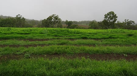
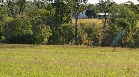
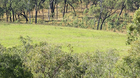
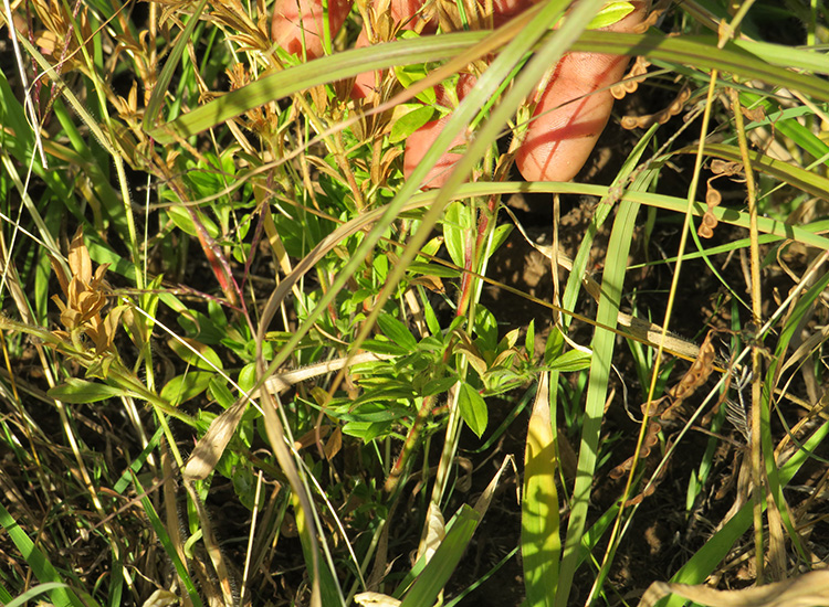
Mick and Melissa reseeded their weaner paddock aiming to improve nutrient requirements and reduce the need to feed supplements. They are delighted with the results, as these pictures show, the seed responded well to rain.
The Staggs used three bags of seed on 10 acres and added 500kg of Crop King 88 fertiliser.
Normanby Station is also one of 30 grazing sites being monitored by Patchkey, a monitoring tool developed by CSIRO to measure land condition. These sites were established between 2012 and 2015 in the BBB and are monitored under the Australian Government’s Reef Rescue package with the aim of generating a valuable longer-term dataset.
Through LCAT training, LDC hopes to influence the development of a continuously improving system of catchment-scale support extension, training, farm planning support and regulatory compliance management across the BBB.
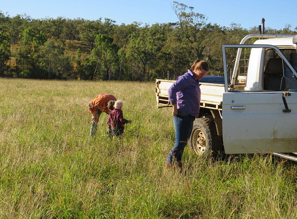
Mick and Melissa Stagg with son William inspect the result of the seeded pasture after rain.
P2R the framework
The Paddock to Reef Integrated Monitoring, Modelling and Reporting Program (Paddock to Reef program) provides the framework for evaluating and reporting progress towards Reef 2050 Water Quality Improvement Plan (Reef 2050 WQIP) targets through the Reef water quality report card.
Launched in 2009, the program unites more than 20 industry bodies, government agencies, Natural Resource Management bodies, landholders and research organisations—working together to measure and report on water quality factors that impact Reef health.
The Paddock to Reef program is founded on the key principles of adaptive management and continuous improvement. The quality of data is continually improving as new methodologies are applied and more information becomes available.
It is jointly funded by the Australian and Queensland governments.
Eighteen graziers took part in a Land Condition Assessment Tool (LCAT) training workshop at Mt Pleasant Learning Hub in March. It focused on the benefits of assessing and monitoring land condition.
LCAT – Benchmarking land condition
THE LDC project aligns with State and Federal Government priorities to deliver measurable improvements in water quality for the Great Barrier Reef. This is why monitoring and evaluation is critical.
Monitoring and evaluation links the on-ground improvements that land managers are making and converts them into measurable improvements in water quality for the Great Barrier Reef.
Monitoring and modelling occurs across a range of attributes, from paddock scale through to sub-catchment, catchment, regional and Great Barrier Reef-wide.
One of the attributes is ground cover monitoring methods. Monitoring is used to measure the on-ground change in land management practices and water quality at the paddock scale, and that data helps to improve the predictive power of the modelling.
Through it’s Grazing Support activity area, the LDC project has adopted a number of ground cover monitoring methods, including the Land Condition Assessment Tool (LCAT).
LDC gathers ground cover data (as well as other biophysical, economic and social data) and reports to the Paddock to Reef Integrated Monitoring, Modelling and Reporting Program (Paddock to Reef program).
The information helps the Federal and State governments to determine how best to fine tune investment and resources to bring about maximum returns for the farmer and the environment.
This article explains why Monitoring, Evaluation, Reporting and Improvement (MERI) is important to the LDC project.
This report summarises the data and methods used for reporting progress towards the Reef 2050 Water Quality Improvement Plan (Reef 2050 WQIP) 2025 land and catchment management target for ground cover.

