
Drones and agriculture are a heavenly match.
Drone demo days highlight their value in agriculture
NQ Dry Tropics has organised two drone demonstration days to show landholders how to implement drone technology to make land management decisions that will improve long-term business success.
They will include one-on-one sessions demonstrating how to maximise the use of personal drones.
Field Day One
- Mt Pleasant Demonstration Site and Learning Hub.
- Bowen.
- Wednesday, 28 October.
- For further information and to RSVP: Cherry Emerick: 0456 015 772.
- Funded by the LDC Influencing Other Land Managers Activity Area.
Field Day Two
- Greenvale Hotel.
- Greenvale.
- Friday, 30 October.
- For further information and to RSVP: Carleigh Drew and Chris Poole; 4799 3500.
- Funded by the Reef Alliance Project – Growing a Great Barrier Reef program funded by the Australian Government’s Reef Trust.
The agriculture industry is no stranger to embracing changing technological trends to streamline business.
The use of drones is the newest technological wave that’s helping agriculture businesses meet the changing and growing demands of the future.
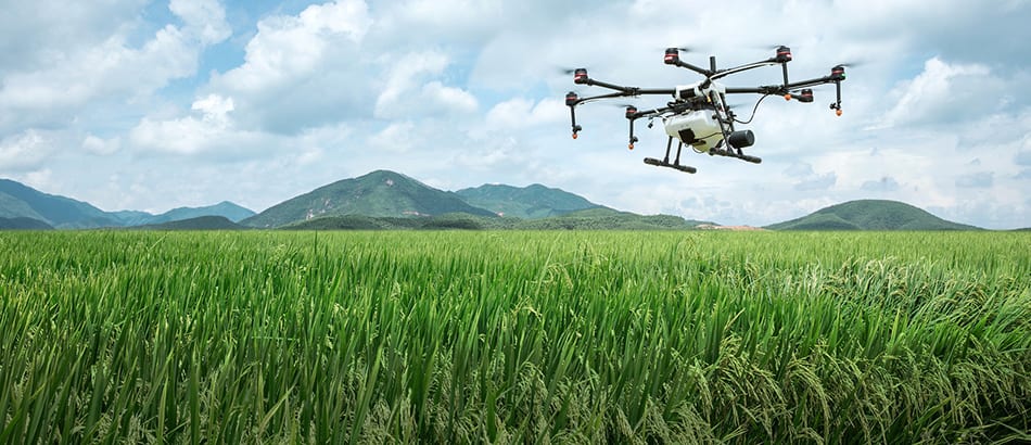
Common uses of drones include real-time livestock monitoring, irrigation monitoring and management, soil and field analysis, seed planting, crop spraying and spot spraying, crop mapping and surveying.
NQ Dry Tropics is bringing together some of the best in the industry to help landholders navigate the range of uses for drones and how best to implement drones in their business.
Presenters include:
Autonomous Technology (David Baker)
- CASA regulations and licensing considerations
OTB Spatial (Michael Kamiski)
- Using drones in weed management (pellets)
- Normalised Difference Vegetation Index (NDVI) & forage budgeting – capability limitations to keep in mind
- Infrastructure assessment
Grazier (Lyle Gillham)
- Using drones in mustering
NQ Dry Tropics (Chris Poole and Daniel Hazelman)
- Drone use in Natural Resource Management (NRM) – surveying and planning
- Technology and programs for pipelines
Topics covered:
- Drones: types of product, applicability to agricultural production, ‘is it the right fit for me and will it deliver what I want?’
- Remote sensing: NDVI, what is it and how does it work? What other resources are available using others’ drone data?
- Drone imagery: what can you use it for? (Photo/ video monitoring, vegetation mapping, pest control, elevation for water flow).
- Legislative requirements: what are they, when is an application required and how do I fill this out?
- Drones in mustering: what legislative requirements are there, what sort of drone would I use?
- Drones in mustering demonstration Lyle Gillham
- Demonstrations: how can I best use my personal drone? (Small groups / one-on-one Q&A and instruction.)
- Suppliers: who can I approach locally for equipment and support? When might it be smarter for me to hire someone to utilise drones on my behalf, rather than invest the time and expense of mastering them myself?